Media
Expert Talk and Exhibition on “Integrating Drones with Remote Sensing and GIS: Geospatial Intelligence”
11 October, 2025
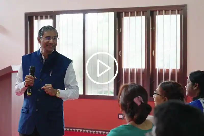
The Institution’s Innovation Council (IIC) at Alliance University organised an expert talk followed by an exhibition on the theme “Integrating Drones with Remote Sensing and GIS: Geospatial Intelligence.” The event aimed to familiarise students and faculty members with the growing significance of drone technology and geospatial intelligence in modern research and applied sciences.
The session was led by Dr. Honne Gowda Huskur, Director, Karnataka State Remote Sensing Applications Centre (KSRSAC) and Member of the Karnataka State Science Academy. Dr. Huskur shared his expertise on how drones, when integrated with Remote Sensing and Geographic Information Systems (GIS), are transforming multiple sectors including urban planning, environmental monitoring, and agricultural research.
Insights from the Session
Dr. Huskur discussed the emerging role of geospatial intelligence in addressing real-world challenges. He explained how data collected through drone-based imaging and GIS tools can be used for effective decision-making in sustainable development, disaster management, and infrastructure planning. His insights highlighted the importance of developing interdisciplinary skills to understand and apply these technologies across domains.
The talk also underscored the need for innovation-led research in India, encouraging students to explore the use of modern technology in solving environmental and social issues.
Remembering Dr. A.P.J. Abdul Kalam
The event was held in memory of Dr. A.P.J. Abdul Kalam, whose vision for scientific excellence and innovation continues to inspire generations of learners and researchers. His life and work served as a reminder of how science, when driven by curiosity and compassion, can contribute to sustainable national growth.
Fostering Innovation at Alliance University
Following the expert talk, an exhibition was organised to showcase student projects and innovative applications of drone and GIS technologies. The initiative reflected Alliance University’s ongoing efforts to promote hands-on learning, innovation, and collaboration through its Institution’s Innovation Council (AUIIC), under the aegis of the Ministry of Education’s Innovation Cell (MoE’s IIC).
The event encouraged participants to think critically about how technological advancement can be harnessed responsibly to build a sustainable and data-driven future.

